MTS-GEO for rover
Flexible start-up costs - maximum possibilities
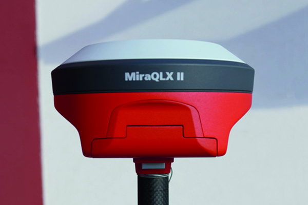
The new MiraQLX - the rover with ingenuity
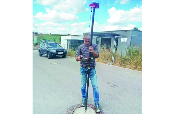
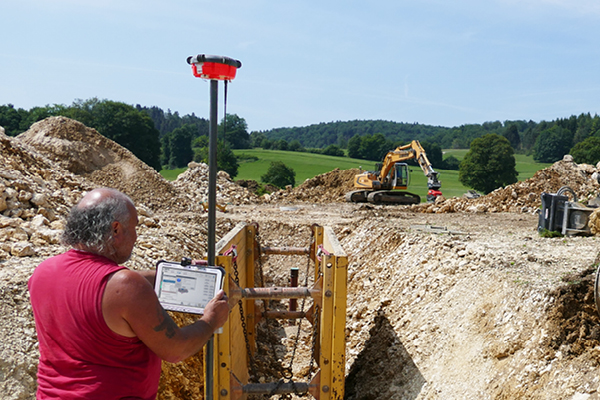
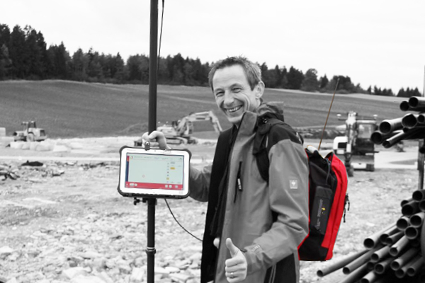
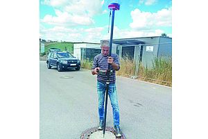
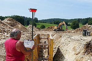
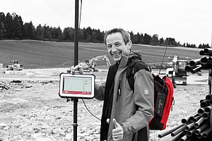
The perfect complement to the 3D excavator control system: The new MiraQLX supports you in all surveying and inspection work on the construction site. Regardless of whether you need to set up and stake out construction sites quickly and easily, find points, record aggregate material or create a survey with digital verification: You can work flexibly and independently with the new high-performance rover after a few minutes of training. The best thing: All data that you record can be used later on for digital construction and accounting.
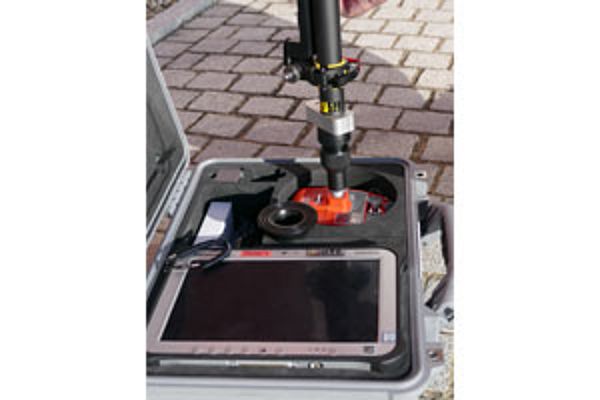
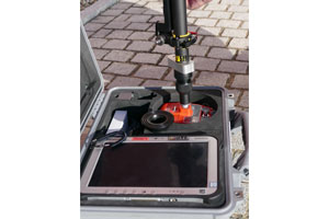
With the new ToughPad holder, for example, you can take pictures without removing the ToughPad. The new holder can also be completely stowed away in the rod pocket, while the entire Rover can be conveniently and safely stored in the new Rover case. The radio antenna of the MiraQLX is also a new feature that is mounted on the outside of the housing. The "crown jewel" of the hardware relaunch is the rubber ring on the rover pot, which additionally protects the device that is already robust.
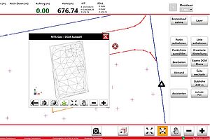
Download the MTS-GEO simulator to your (Windows) computer!
PREMIUM ROVER
For special demands
The professional solution that also guarantees coverage on house walls and under bad weather conditions:
Contains:
- MiraQLX - high performance rover receiver
- ToughPad
- Rover rod with very light ToughPad holder
- MTS-GEO software
- Correction data via mobile and base radio possible
- GALILEO ready*
- Innovative interference filter for best coverage
* chargeable activation
The benefits


Saves the need for preliminary staking by a surveyor


Advanced stake-out functions such as indirect measurement and other additional functions relevant to construction practice


Each work step is documented - complete accounting documentation


The foreman can personally perform stake-outs during construction - at the appropriate time


Precise surveying of the terrain facilitates the exact determination and allocation of the moving masses


GALILEO-ready
(chargeable activation)
Contains


Innovative interference filter for best coverage


Correction data via mobile and base radio possible


MTS-GEO software


Rover rod with very light tablet PC holder
(optional: height-adjustable rover rod)


Tablet PC


MiraQLX - high performance rover receiver
The assistants & tools

KOSTENLOS!
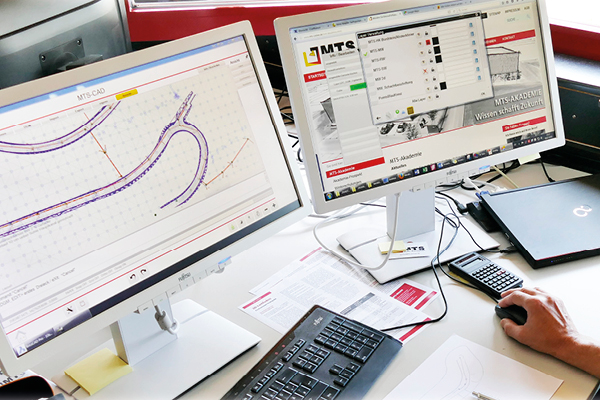
- sortiert, filtert oder reduziert die Messdaten einer kompletten Baustelle
- verarbeitet das Messprotokoll weiter
- grafische oder tabellarische Anzeige und Ausgabe der aufgenommenen Daten
- erleichtert die Bereinigung und Zusammenführung der Messdaten für die MTS-PILOT Anwendungen
- Aufbereitung für die Weiterverarbeitung mit dem 3D-Planmanager oder anderen CAD-Programmen
- speichert neuen Datensatz in verschiedenen Formaten
- Betrachtung und Weitergabe von ausgewählten Punkten oder Linien aus einem bestehendem Gewerk
- identifiziert und bereinigt doppelte Daten
Unter doku.mts-online.de haben Sie die Möglichkeit, das Setup per Mausklick herunterzuladen.

- Ausgabe als PDF mit Bemassung
- Fertige Abrechnungspläne auf Knopfdruck
- Aufteilen der Aufmaße nach eigenen Vorgaben z.B. Kostenträger oder Ort
- stellt Messdaten sinnvoll zusammen, z.B. nach Ort, „HA Nr.4“ oder dem Inhalt „Randsteine“
- Prüfbare und nachvollziehbare Aufmassunterlagen
- Der Auftraggeber braucht zur Prüfung und Übernahme keine spezielle Software
- Anbindung an den ISL-Baustellen-Manager
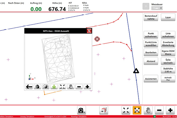
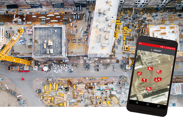
MTS-GEO saves the preliminary staking by the surveyor: Site managers and foremen can now stake out the site themselves during the construction phase. MTS-GEO is also your assistant for inventories and measurements. It guarantees maximum efficiency, because you can start with the digital measurements early in the construction phase. The precise surveying of the terrain before and after a work process facilitates, for example, the exact determination and allocation of the moving masses on site. This means that each individual work step can be documented immediately after completion.
MTS-LOC with Trans+
- Trans+ function: Localisation without fixed points via map with the touch of a fingertip
- Local coordinate systems - orientation is irrelevant here.
- Worldwide use
- Determination of the transformation parameters for the construction site
Corrective data service
- Working without a base
- Direct working in UTM possible - without localisation
- Low investment costs
New: TransService*
- Direct working in Gauss-Krüger coordinates
(*chargeable activation)
![]() Inclusive volume assistant -> more at 3D machine control
Inclusive volume assistant -> more at 3D machine control
Das Rundum-Sorglos-Paket für die digitale Baustelle
Mit dem neuen Software-Pflegevertrag erhalten Sie ein Rundum-sorglos-Paket mit zusätzlichen Leistungen rund um Ihre MTS-PILOT-Software. Eine ausführliche Beschreibung der einzelnen Leistungen finden Sie untenstehend.
Alle Vorteile im Überblick
- Kostenlose Updates & Upgrades
- Ihre gesamte Baggerflotte bleibt „up to date“
- Nahtloses Weiterarbeiten nach Upgrades
- Ein Ansprechpartner, der Ihre Sprache spricht
- Minimale Reaktionszeiten beim Support
- Erweiterte Supportleistungen sind inbegriffen: Baustelleneinrichtung bei Auslieferung, wiederholte Einweisungen, kostenlose Support-Hotline etc. Keine Versionskonflikte
- Das „Extra-PLUS“: 25 % Rabatt auf alle MTS-Seminare der www.MTS-Akademie.de
MTS-GEO (Vermessung)
- Absteckungen können baubegleitend durch den Polier selbst vorgenommen werden – zeitlich passend
- Bestandsaufnahme und Aufmaßerstellung
- Erweiterte Absteckfunktionen wie indirekte Messung
- Exakte Geländeaufnahme
- Ermöglicht die genaue Bestimmung und Zuordnung der bewegten Massen
1.600,- € Software Lizenz (einmalige Kosten)
+ 32,- € Pflegevertrag (Support & Upgrades | monatliche Kosten | mind. 2 Jahre Laufzeit)
Das MTS-GEO enthält den Volumenassistenten und kann mit dem Baugrubenassistenten kombiniert werden.


RUCKSACK ROVER<br/> the clever solution
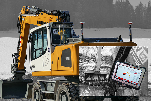
For all those who already have a 3D excavator control system: <br/> Use the receiver box and an antenna of the excavator as a rucksack rover for the first terrain survey or for measurements! You do not have to invest in an extra surveying rover and yet remain flexible.<br/> Self-employed persons who carry out earthwork and landscaping & gardening work for private individuals enjoy a particular advantage. You can record the customer's wishes directly on site during a joint site inspection and utilise them as an excavator file later on.
Complete 3D plans entirely without planners!
Features to complement your 3D excavator control:
- Rover rod
- Rucksack
- Rechargeable battery


MTS product portfolio 2018

Digitale Baustelle
